Read images of other worlds. Measure their materials in the laboratory. Use instruments and models to understand the lunar surface. Our research brings together exploration data, experiments and numerical modelling, from planetary science to the use of space resources.
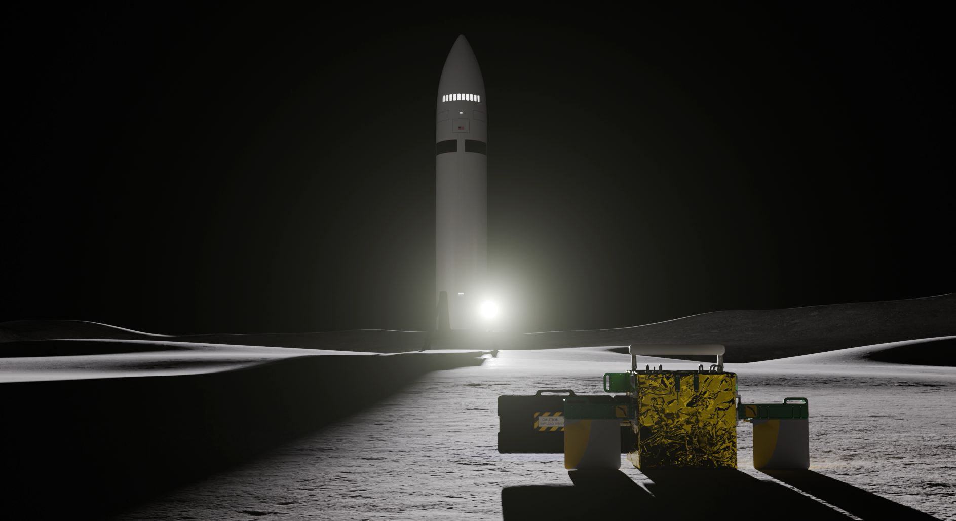
Measuring the properties of lunar regolith: LDA
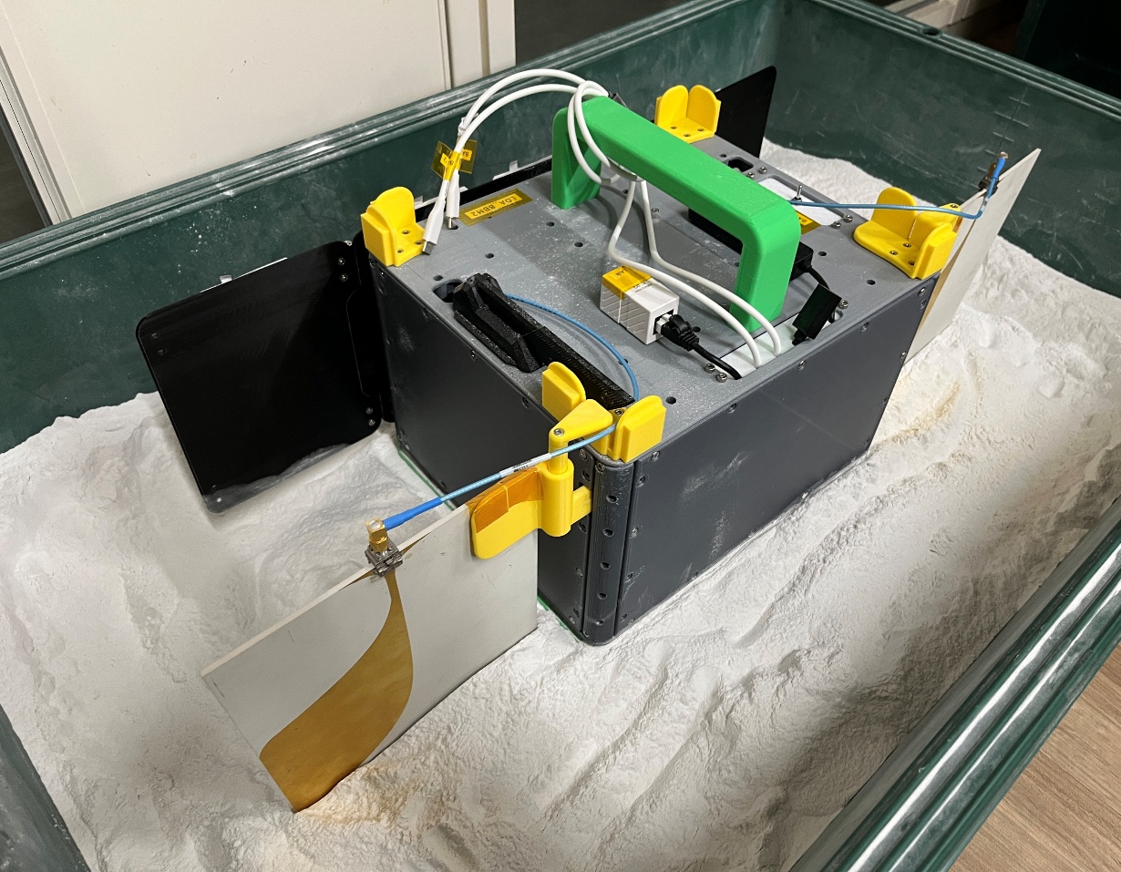
The Lunar Dielectric Analyzer (LDA) is designed to measure the dielectric properties of lunar regolith, the loose grains and rock fragments covering the surface. Sensors placed against the ground probe how the material responds to electromagnetic fields.
Composition, packing density, temperature and ice can all affect dielectric properties. We combine measurements of analog materials with heat-transfer models to distinguish possible explanations for a signal. The observing concept also considers repeated measurements during temperature changes caused by a lander’s moving shadow.
Connecting measurements, experiments and models
- Investigating measurements with contact resonators and antennas.
- Laboratory measurements across different sample compositions, densities and temperatures.
- Modelling surface heating and cooling to support the interpretation of field measurements.
University announcement on LDA selection (2024) ↗
Representing planetary materials on Earth
Regolith simulants representing the Moon, Mars and Phobos support experiments for exploration instruments and resource use. Alongside composition and grain characteristics, a central question is which properties must be reproduced to answer a particular experimental question.
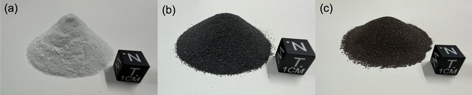
Studies supporting LDA compare the dielectric properties of materials including anorthosite, basalt and ilmenite. Controlled experiments help establish how composition and density are reflected in measurements.
Reconstructing planetary history from exploration images
We examine craters, boulders, grooves and other features in images of the Moon, asteroids and Martian moons. Their shapes, sizes and spatial distributions provide clues to impacts, particle movement and surface evolution.
Image analysis and machine learning are also topics in our research and teaching. Working with exploration data includes checking automatically extracted features against geological interpretation and assessing where a method succeeds or fails.
From subsurface exploration to resource use and society
We also study radio sounding and subsurface radar methods for investigating structures hidden below the surface. Through CSRI and collaborations in Japan and overseas, we connect scientific and engineering work with resource-use questions, education and dialogue with society.